The Lagoons of the Santuario de la Naturaleza 2: Laguna Los Ángeles
Originally posted to El Cantar de la Lluvia on Saturday, December 29, 2007
A long time has passed since the last article was published on the Flight of the Platypus.
Many things have come to pass. I've been hot, I've been cold; I've been alone and I've made friends. I missed that which is known and I discovered that which is unknown.
After many months of patient waiting, it was time to return to Chile for the holidays.
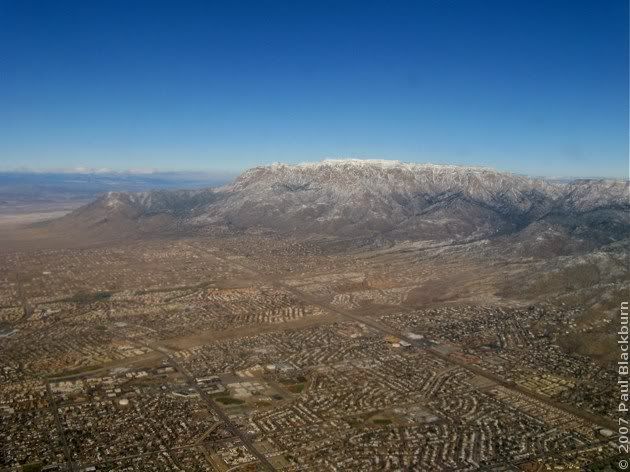
I got on a plane and left Albuquerque. I set off West.
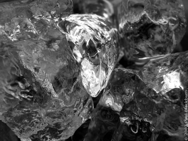
The Coke had ice in it.
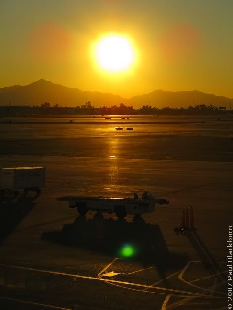
I landed in Phoenix, Arizona. More hours of doing nothing.
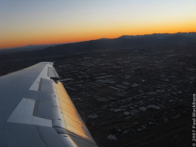
I took off again, headed East.
I flew over Albuquerque once more, and landed at Dallas Fort Worth, in Texas. The American Airlines people were offering $800 dollars towards flights within a year, plus a night's stay, to any who would be willing to travel the next day. No, thanks.
I woke up flying over a sea of grey clouds. After breakfast, I was able to recognize where I was.
As a matter of fact, I'm almost certain that these are the Túnel Chico and Túnel Curvo just south of Illapel. We went through them with Rodrigo headed North, and I came back alone, after the 18th of September weekend. I never published the pics from that trip.

We eventually passed by Cerro El Roble. Remember?
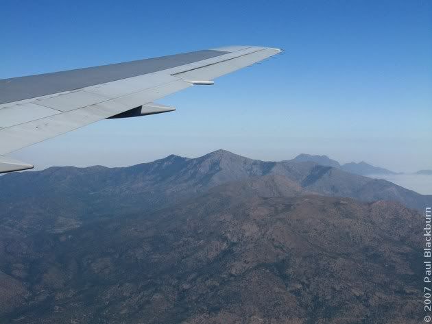
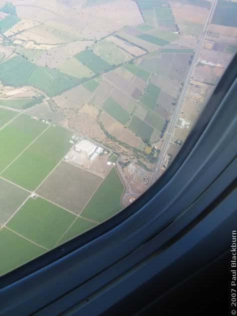
A few seconds later, the turnoff to Til Til from Ruta 5. How many times must I have taken that turnoff, on the way to some ride near the Cuesta La Dormida.
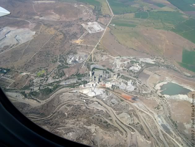
And the Polpaico cement plant, where Rodrigo worked for a period.
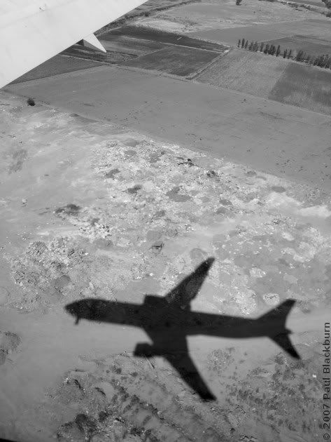
And then the road to Lampa, where I used to go to watch planes land. And now it's me that's landing.
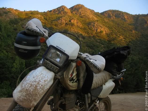
The bike started on the third kick. I patched a slow leak in the front tyre.
Once that was done, friends were summoned, beer and completos were consumed in great quantities.
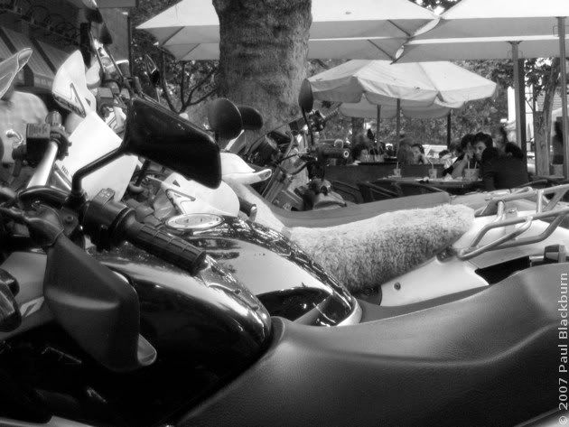
The weekend drew near, and a destination was chosen: the Lagoons of the Santuario de la Naturaleza, Version 2.0, sans snow.
In May we had tried to reach these lagoons. We made it, but there was a lot of terrain still to explore.
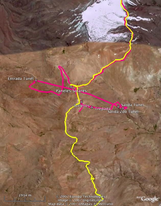
Our route is shown below.
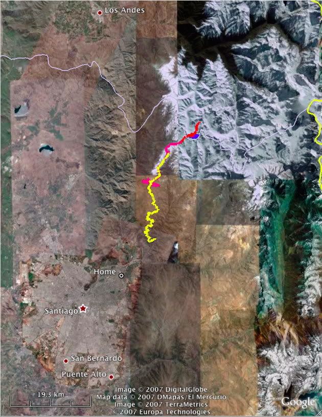
You can get a better view of things by downloading the Google Earth KMZ, available here.
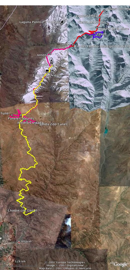
The yellow track is what we were able to do in May. We were forced to turn back at Laguna Coyara, since the track in the snow we had been following ran out.
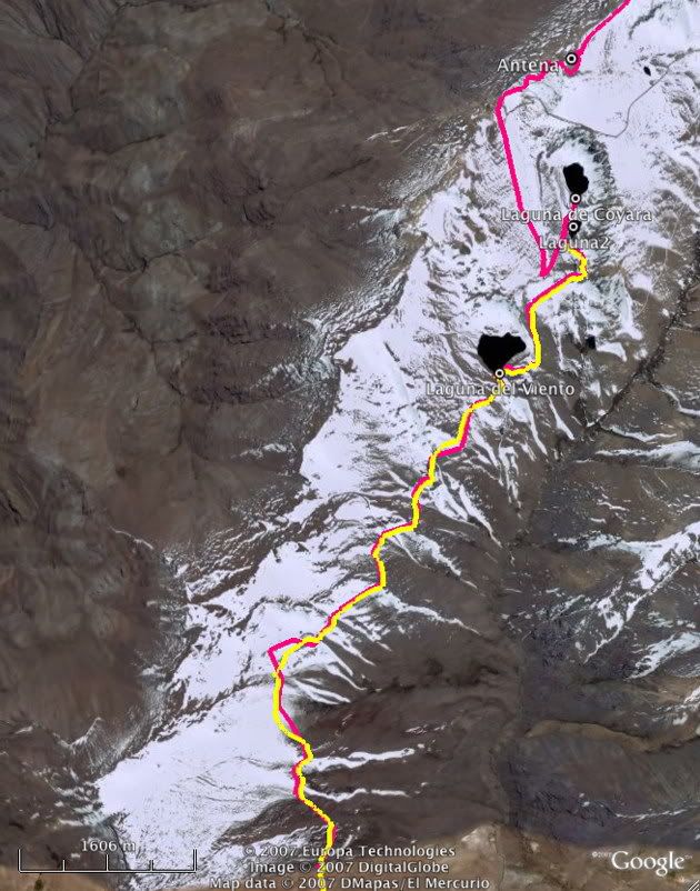
The admission fee is $4000 pesos, about 8 bucks. But I think it's worth it if you make the best of it, as we did. For a picnic... not so much.
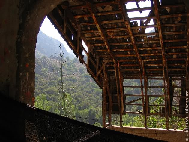
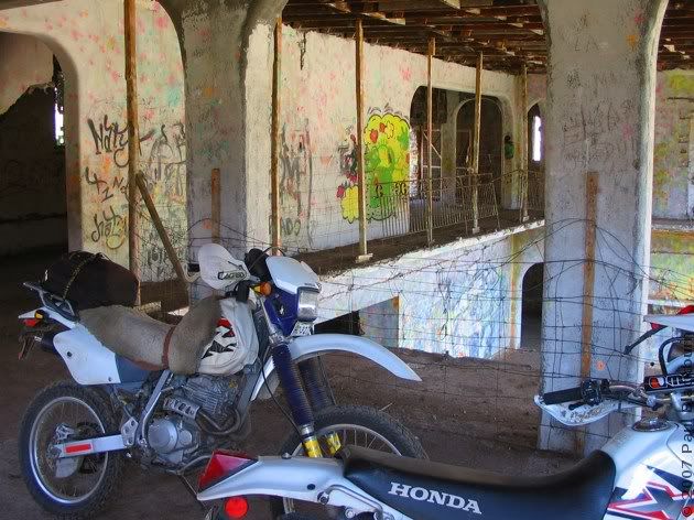
We passed by the paintball house.
Rodrigo couldn't resist Saturday Morning Fever, and launched into the Macarena.
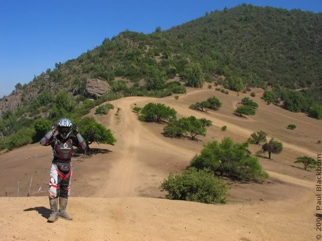
After that ridiculous episode, we carried on up the trail.
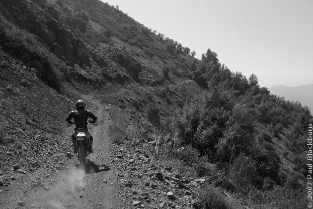
Up and up.
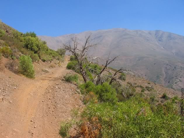
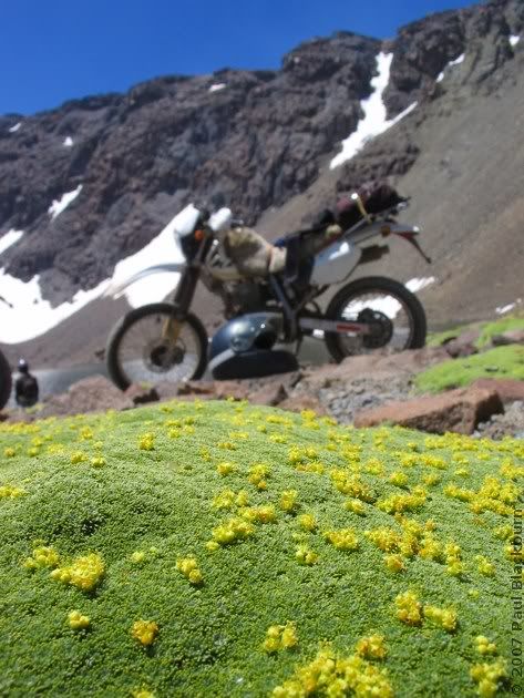
Now here's something we didn't see last time: flowers!
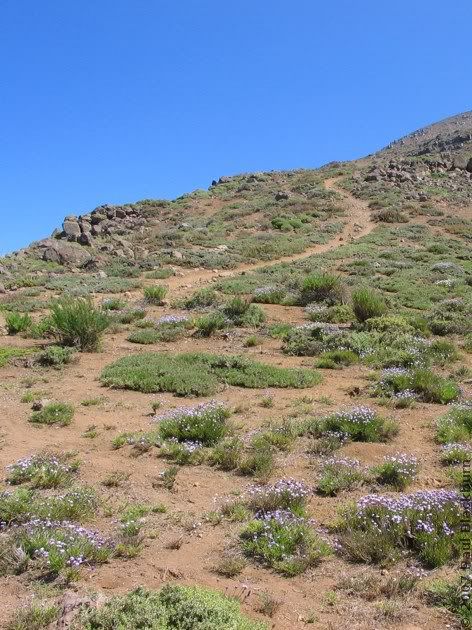
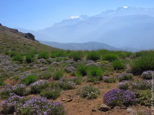
A view towards Santiago. On the right, Cerro Manquehue.
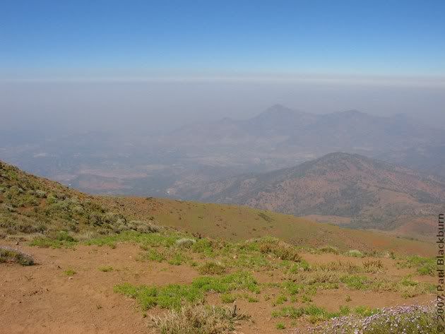
And more flowers!
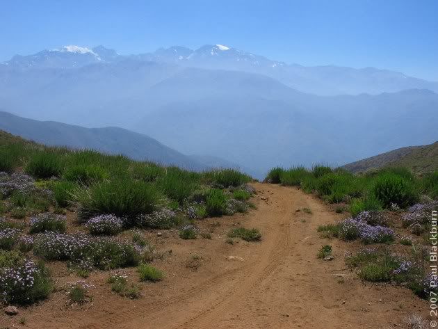
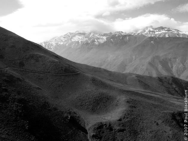
Endless kilometers of mountainsides. Remember this curve?
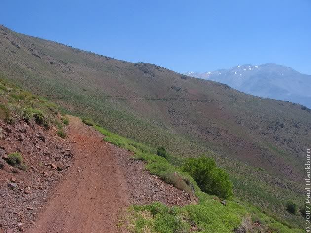
No? Here's the pic from last May.
Flowers!!!
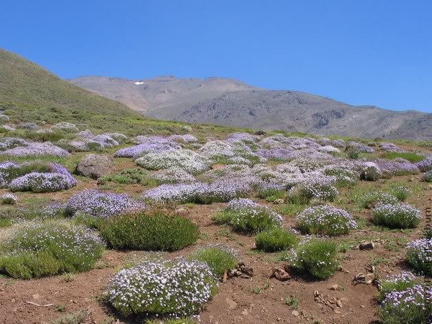
And what's that up there, in the sky? The black dot is a condor. The white one...
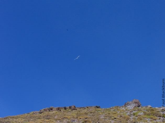
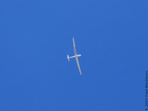
The three of us went up and up. I parted ways with them eventually: both were going up and up in a spiral, but centered on a now-distant peak. No idea who won: condor or glider.
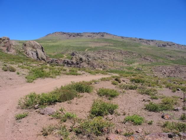
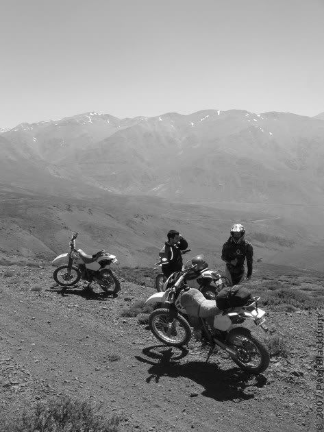
Rodrigo went on ahead. The bull was not welcoming. (click).

And with that, we reached the antenna/solar panel station .
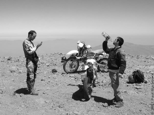
I took the opportunity to change the main jet (a 135) for a 128. That day we'd be going all the way up to 3500 m.
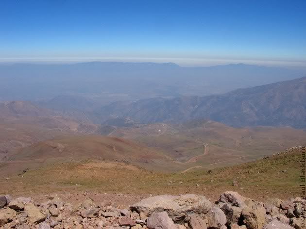
Here's the view towards Colina. That road that you see in the distance does get to Colina, but it's property of the minera.
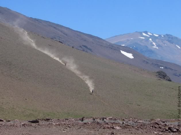
As we rested, we heard engines in the distance.
On a previous ride, Rodrigo had discovered an extremely long tunnel. We set off downhill to look for the entrance.
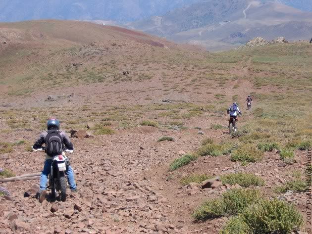
The trail–if you can indeed call it that–was covered in large angular rocks. A particularly treacherous rock managed to launch me off to the side. I landed with my full weight on my right shoulder, as if I were an american football player. Earth 1, Paul 0.
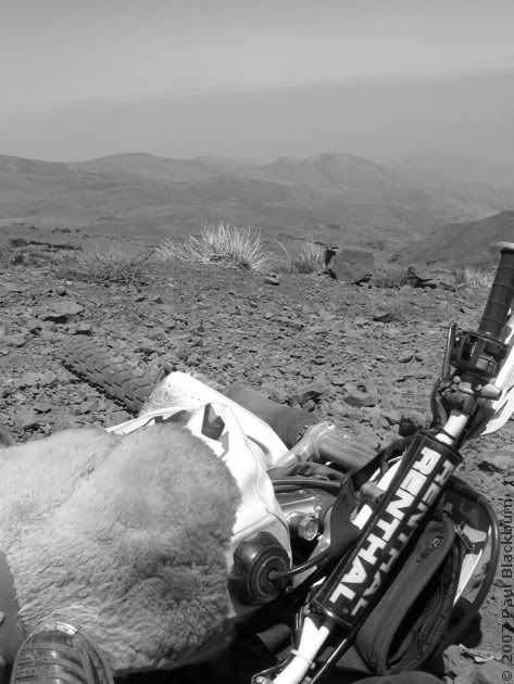
I lay there for a while. My shoulder hurt; a diffuse, general pain. The tendons had probably done their job, and absorbed a large part of the impact. I realised my right foot was still trapped under the bike, with a lot of weight on it.
With a sharp tug I freed my foot. I hadn't even used my new MX boots for more than a couple of hours, and they'd already saved me. It would be the first of many saves on this and other rides.
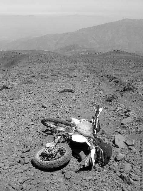
I finally made it down to the tunnel entrance.
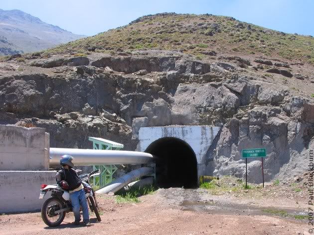
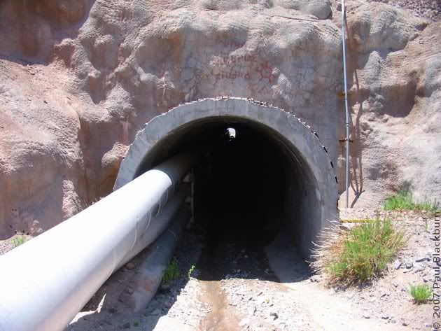
This is what we saw for a full ten minutes:
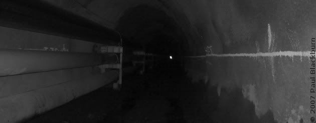
It would have been nothing but pure and simple monotony, were it not for the water in the tunnel. Sometimes it was small puddles, sometimes it was large puddles. At times it was one long watery trench, some 50 to 100 metres long. It was here, plowing ahead like a tugboat, in 15 to 20 cm deep water, that the engine started complaining. I looked at the trip meter, but I was nowhere near reserve. I cranked the throttle a couple of times, but my headlight was getting dim, yellowish, and the engine sounded deeply unhappy. I downshifted. The bike was shuddering, the exhaust note because muffled and intermittent. Eventually, after a few sad spasms with a light that was no brighter than a candle, the engine shut off.
Hm. Cold water equals cold engine. I put the choke on, and it started up again.
And I finally got out of the tunnel.
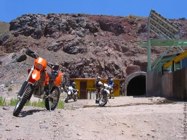
... Only to ride into another one, much shorter.
When we emerged, we were on the other side of the mountain. The fuchsia track starts at the antennas, we went down heading West, went into the tunnel, and appeared on the other side.
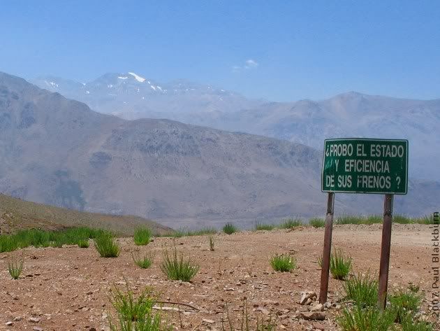
Yes, thanks:
As a shortcut, and just for the sheer fun of a long, long climb, Rodrigo set off uphill. Audy followed, and then me.
The surface was loose, and I had to stop 3/4 of the way up. Audy got further, and Rodrigo made it all the way to the top. It was steep.
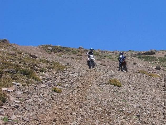
That diagonal ditch is mine. Ah, the joys of a near-bald tyre.
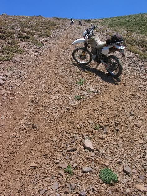
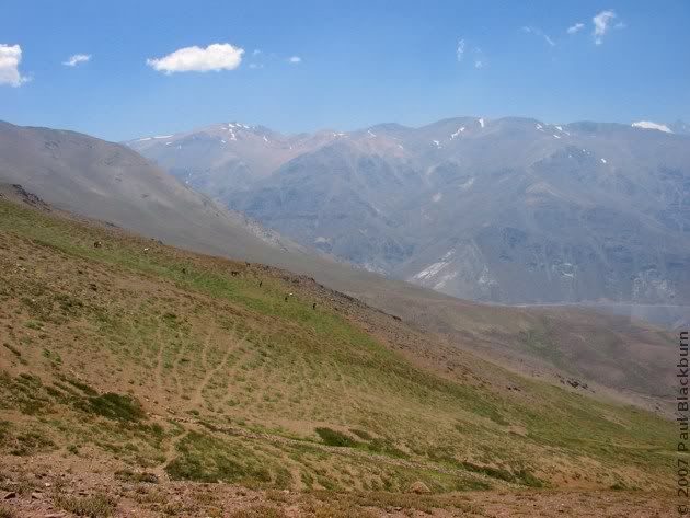
In the distance, cows.
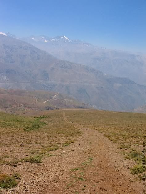
And down there... what's that? A white dot on the trail.
But if it isn't Daniel, Rodrigo's brother.
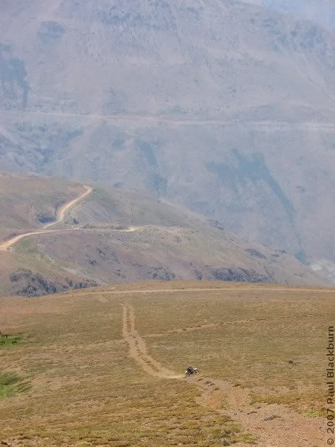
One by one, we turned and came down.
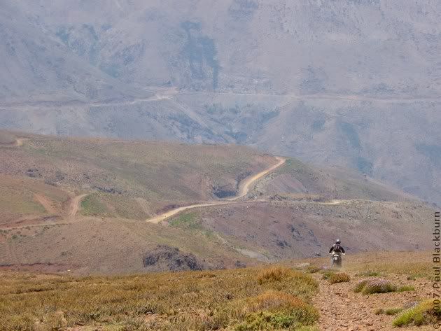
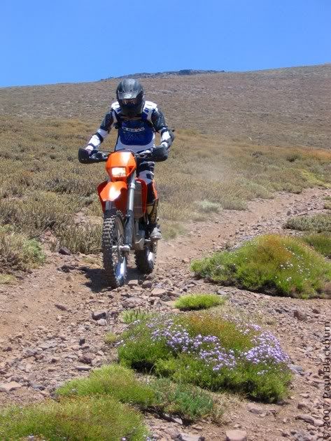
We followed the main road, back towards the antennas. We met some arrieros and their horses.
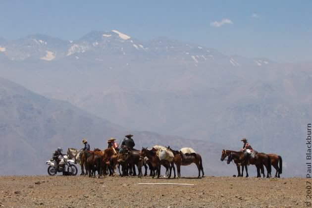
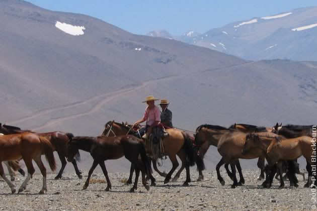
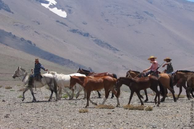
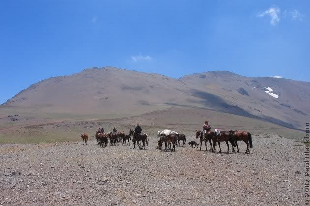
And with that, they went on their way. (click)
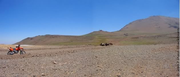
And so did we.
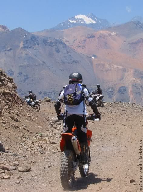
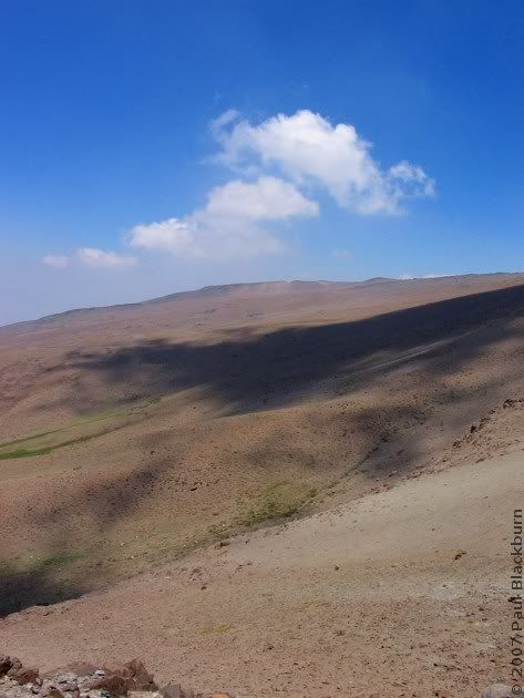
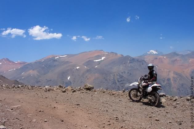
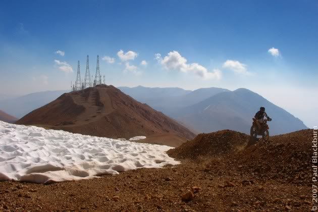
The last remnants of the snow blanket that so firmly covers this region.
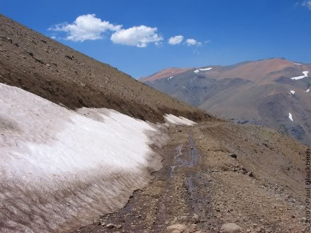
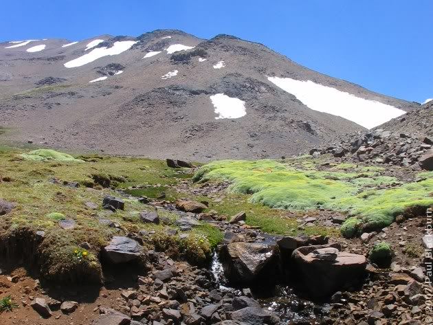
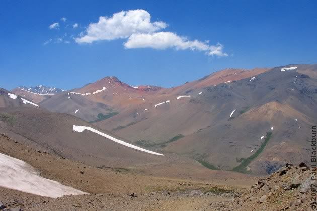
We finally made it to the Laguna del Viento. We had lunch. My sandwich's cheese had melted, and was foamy, from the altitude.
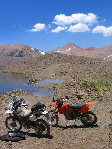
This is what it looked like in May.
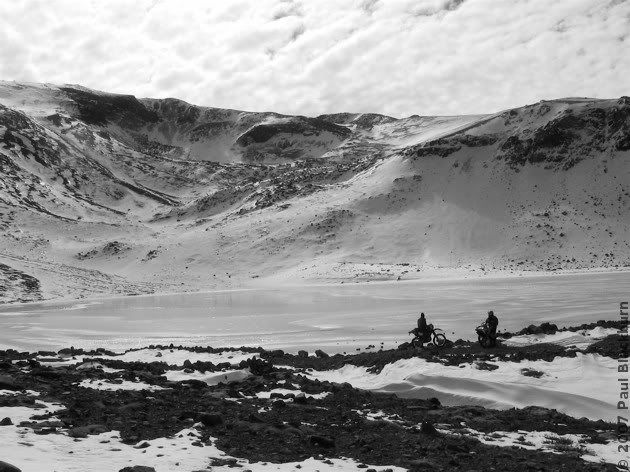
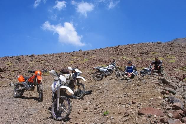
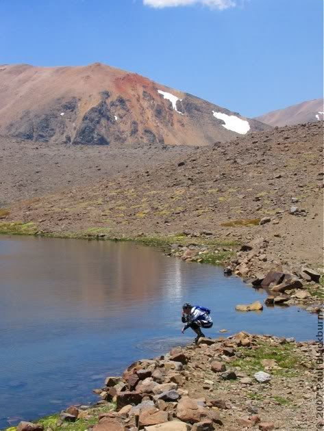
We carried on to the Laguna de Coyara. (click)

Amazing how it changes in Summer!
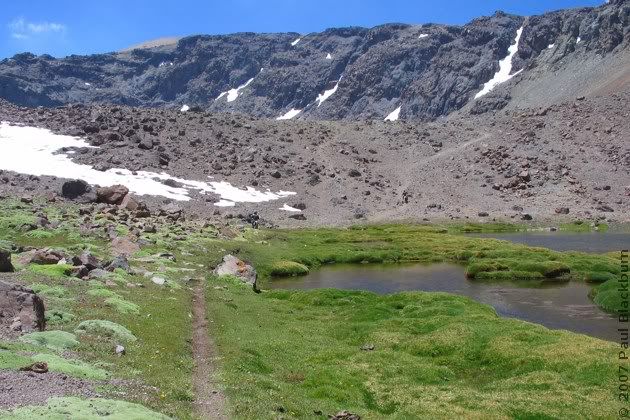
The climb wasn't easy. I dropped the bike on my foot again, but it didn't hurt this time.
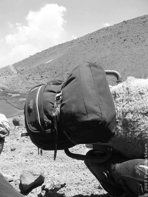
Rodrigo had to help Daniel up.
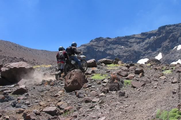
Looking back towards the main road.
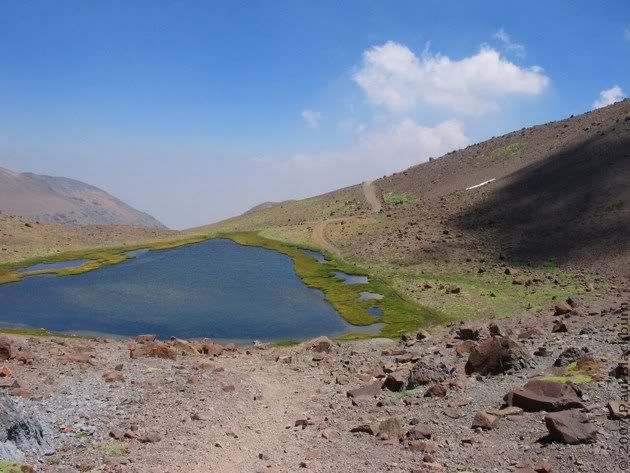
Further on, there was no more green to be seen.
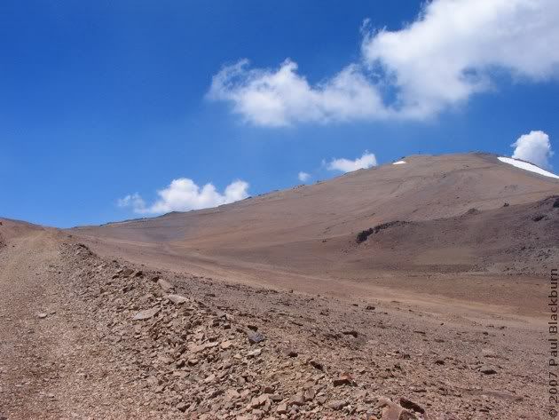
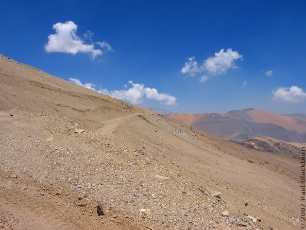
Up and up we went.
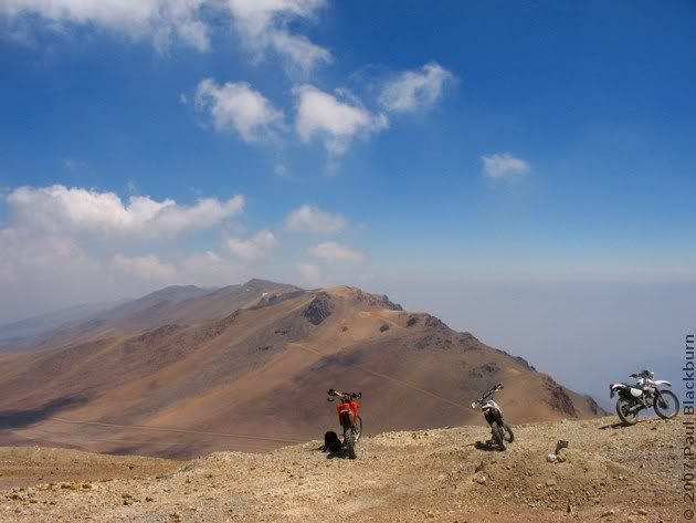
The colours! The colours!
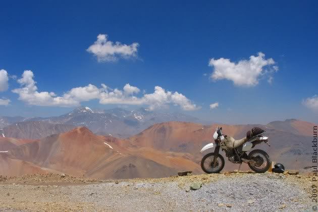
Rodrigo decided to climb the small tower.
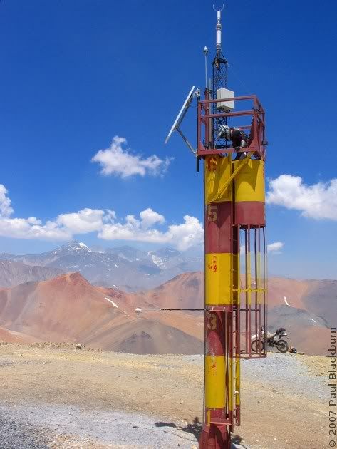
In the distance, looking North-East, we managed to spot another lagoon. Would we be able to reach it?
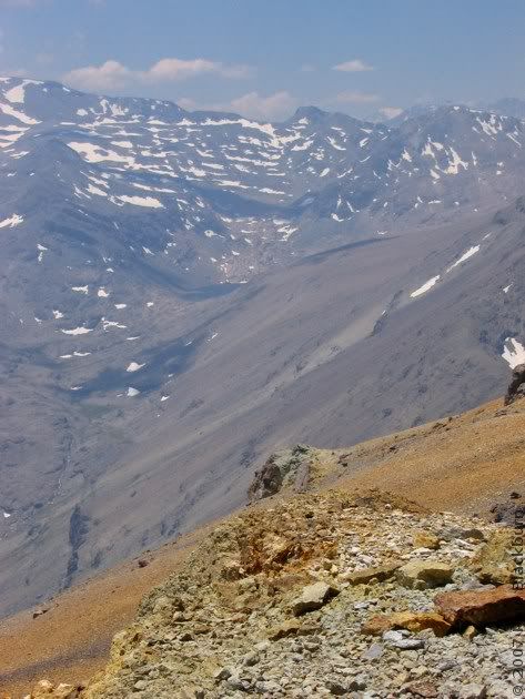
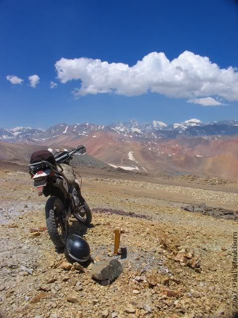
Well, we had to try, no?
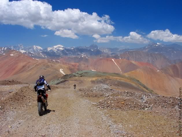
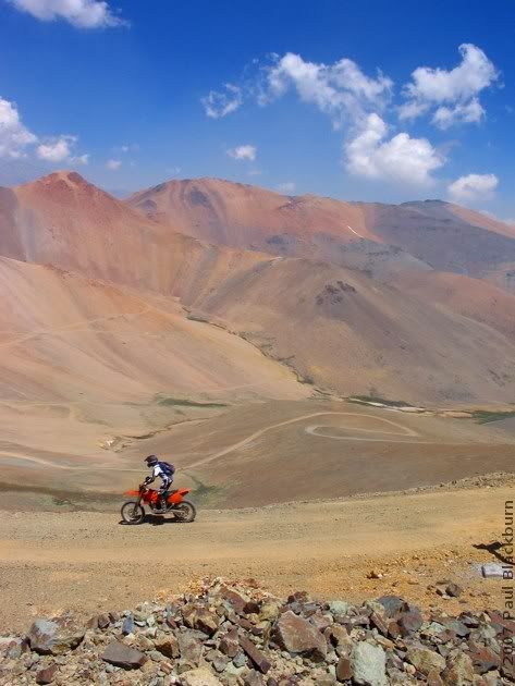
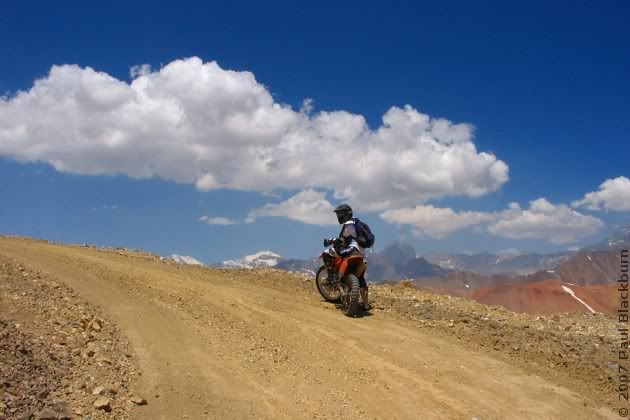
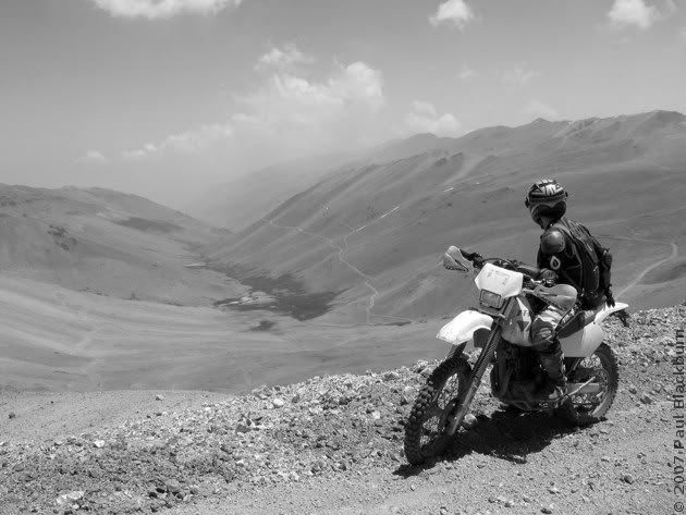
But before that, we tried reaching the high voltage pylons. The main road ended in a landslide, so Rodrigo decided to see how far up the loose slope he could get. Sharp rocks flew everywhere.
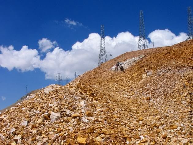
He wasn't able to.
We followed another road, always on the hill's ridges. Eventually, we saw that a valley opened up on our left, to the North. We rode down to the crossroads.
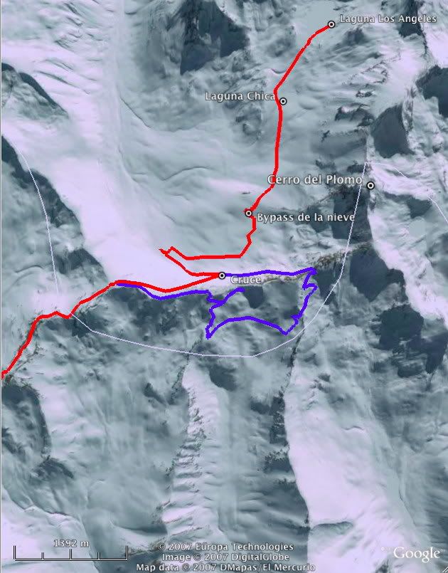
A long, wide tongue of snow sat calmly in our way, licking the hills and the valley at the same time. It had been eroded by the wind, and presented us with a beautiful view of its sastrugi.
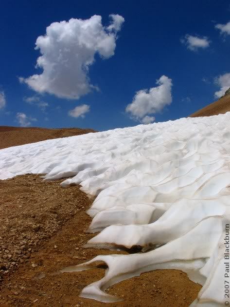
We left the road, and crossed a rock field. A year ago, this would have been pure testicular torture. Now, I had learned that the best way to confront this type of terrain is to gather speed and let the suspension do its job.
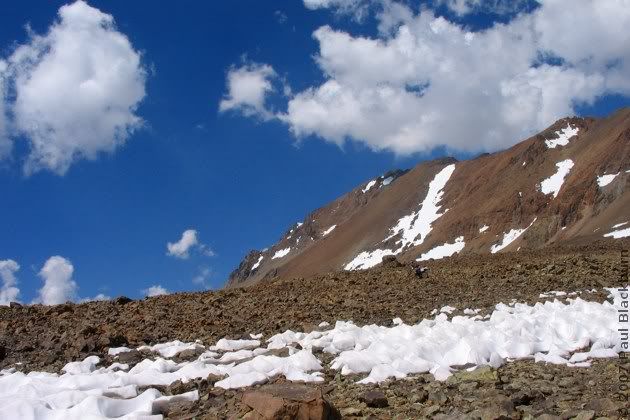
And looking back: (click)

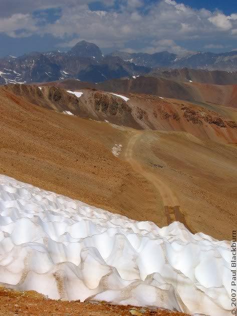
Once on the other side, we carried on up the valley.
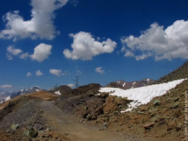
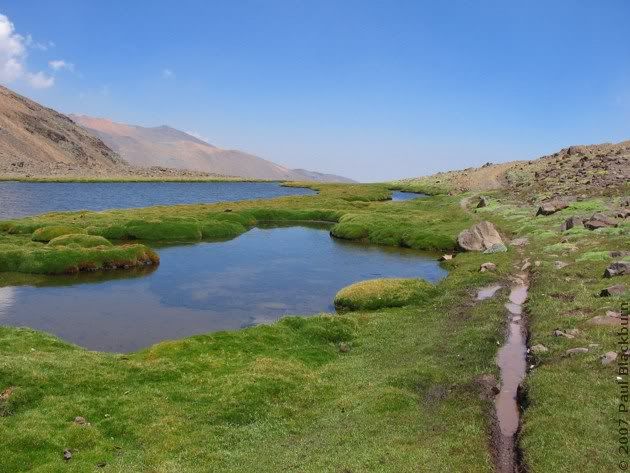
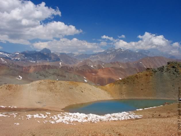
Another lagoon!
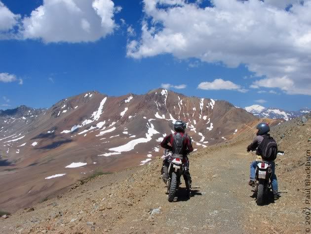
And these posts? Where will they take us?
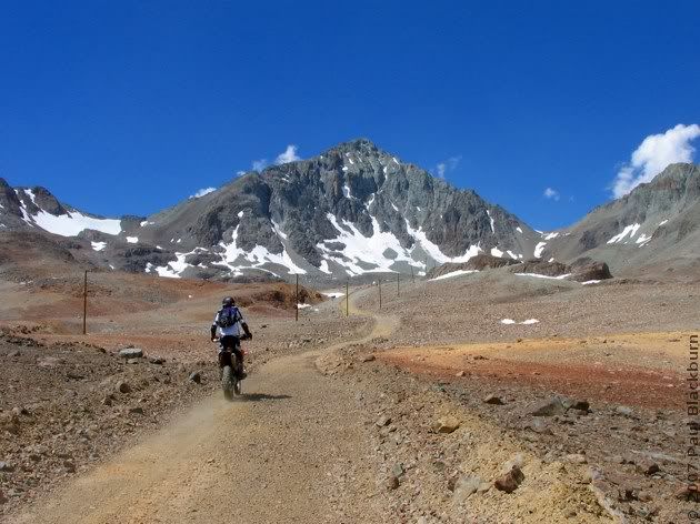
Why, to the Laguna Los Ángeles!
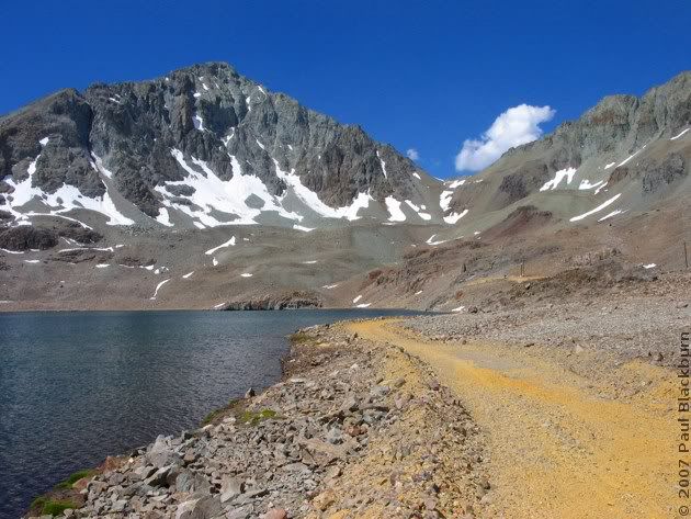
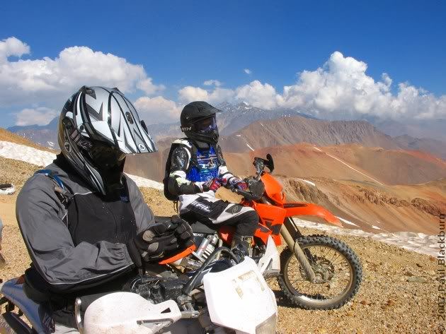
We stopped for a rest. The afternoon sun, the hot rocks and the cool breeze were the perfect recipe for a siesta.
But the shadows were growing long, and we had to be on our way.
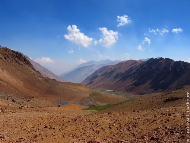
We took the blue track.
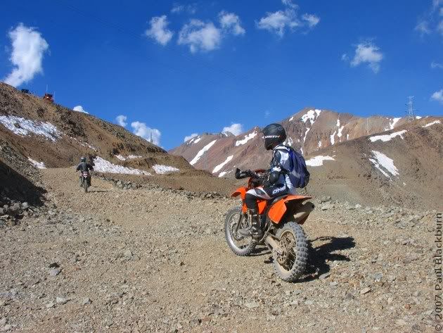
It didn't lead anywhere interesting, so we turned around.
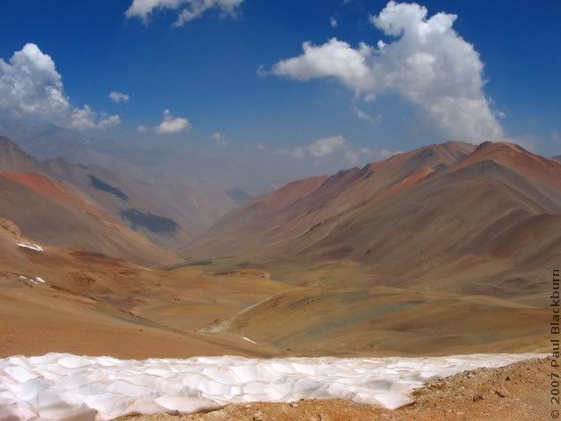
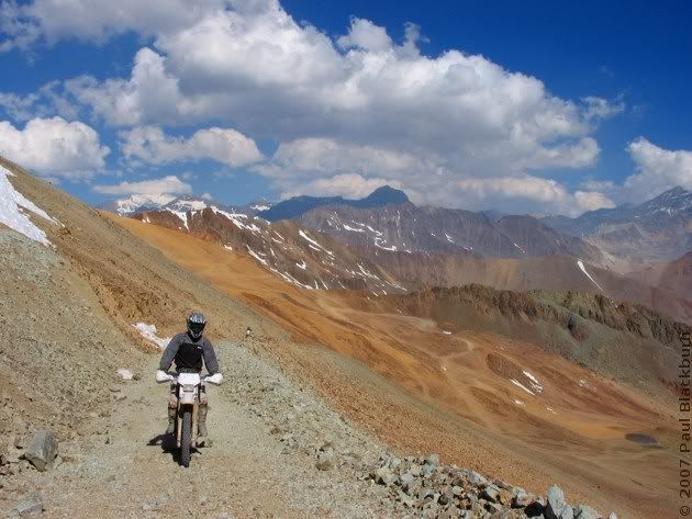
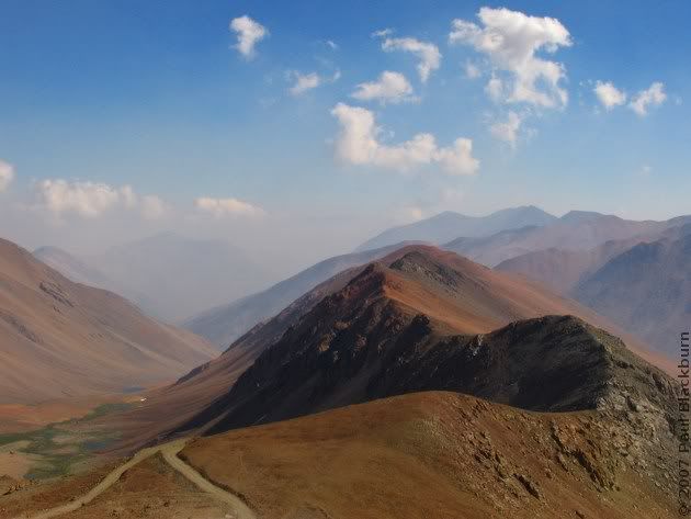
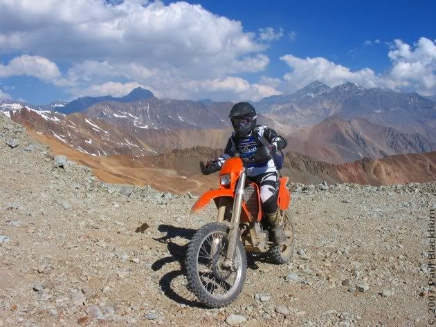
The colours, absolutely incredible.
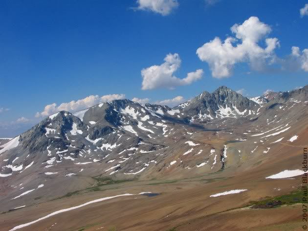
Rodrigo checks the GPS.
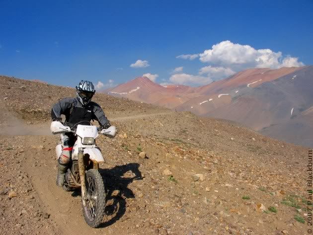
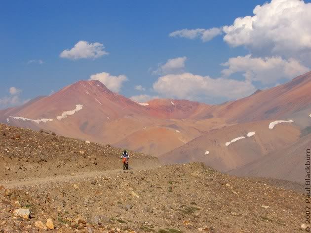
The usual andean afternoon clouds started to appear.
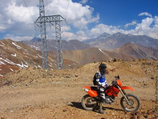
This view reminds me of the yesera near the Baños de Colina. (click)

And looking the other way. (click)
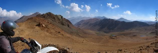
We got back to the antennas again.
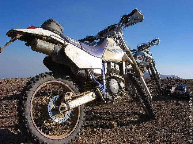
As I swapped the main jet once more, Rodrigo and Daniel rested. (click)
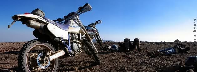
It was time to come down again.
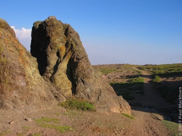
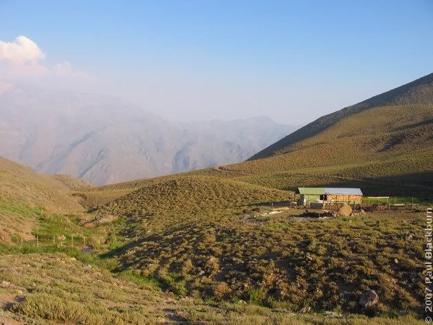
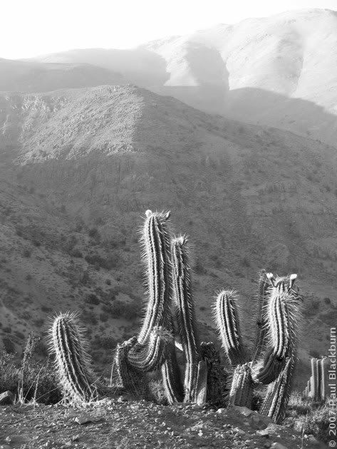
The ride back to the main gate of the Santuario seems eternal. I was extremely tired, to the extent that I stopped avoiding rocks on the trail. When that happened, I forced myself to stop and rest.
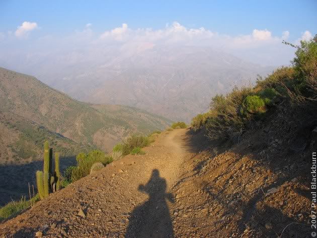
And we got back to the paintball house again.
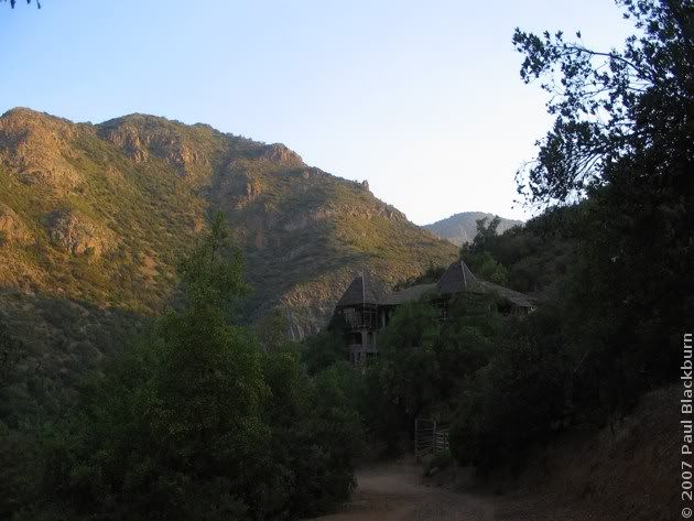
It's good to be back in Chile.
A long time has passed since the last article was published on the Flight of the Platypus.
Many things have come to pass. I've been hot, I've been cold; I've been alone and I've made friends. I missed that which is known and I discovered that which is unknown.
After many months of patient waiting, it was time to return to Chile for the holidays.
I got on a plane and left Albuquerque. I set off West.

The Coke had ice in it.

I landed in Phoenix, Arizona. More hours of doing nothing.

I took off again, headed East.

I flew over Albuquerque once more, and landed at Dallas Fort Worth, in Texas. The American Airlines people were offering $800 dollars towards flights within a year, plus a night's stay, to any who would be willing to travel the next day. No, thanks.
I woke up flying over a sea of grey clouds. After breakfast, I was able to recognize where I was.
As a matter of fact, I'm almost certain that these are the Túnel Chico and Túnel Curvo just south of Illapel. We went through them with Rodrigo headed North, and I came back alone, after the 18th of September weekend. I never published the pics from that trip.

We eventually passed by Cerro El Roble. Remember?

A few seconds later, the turnoff to Til Til from Ruta 5. How many times must I have taken that turnoff, on the way to some ride near the Cuesta La Dormida.

And the Polpaico cement plant, where Rodrigo worked for a period.

And then the road to Lampa, where I used to go to watch planes land. And now it's me that's landing.

The bike started on the third kick. I patched a slow leak in the front tyre.
Once that was done, friends were summoned, beer and completos were consumed in great quantities.

The weekend drew near, and a destination was chosen: the Lagoons of the Santuario de la Naturaleza, Version 2.0, sans snow.
In May we had tried to reach these lagoons. We made it, but there was a lot of terrain still to explore.
Our route is shown below.

You can get a better view of things by downloading the Google Earth KMZ, available here.

The yellow track is what we were able to do in May. We were forced to turn back at Laguna Coyara, since the track in the snow we had been following ran out.

The admission fee is $4000 pesos, about 8 bucks. But I think it's worth it if you make the best of it, as we did. For a picnic... not so much.
We passed by the paintball house.


Rodrigo couldn't resist Saturday Morning Fever, and launched into the Macarena.

After that ridiculous episode, we carried on up the trail.

Up and up.

Now here's something we didn't see last time: flowers!


A view towards Santiago. On the right, Cerro Manquehue.

And more flowers!

Endless kilometers of mountainsides. Remember this curve?

No? Here's the pic from last May.

Flowers!!!

And what's that up there, in the sky? The black dot is a condor. The white one...


The three of us went up and up. I parted ways with them eventually: both were going up and up in a spiral, but centered on a now-distant peak. No idea who won: condor or glider.


Rodrigo went on ahead. The bull was not welcoming. (click).

And with that, we reached the antenna/solar panel station .

I took the opportunity to change the main jet (a 135) for a 128. That day we'd be going all the way up to 3500 m.
Here's the view towards Colina. That road that you see in the distance does get to Colina, but it's property of the minera.

As we rested, we heard engines in the distance.

On a previous ride, Rodrigo had discovered an extremely long tunnel. We set off downhill to look for the entrance.

The trail–if you can indeed call it that–was covered in large angular rocks. A particularly treacherous rock managed to launch me off to the side. I landed with my full weight on my right shoulder, as if I were an american football player. Earth 1, Paul 0.

I lay there for a while. My shoulder hurt; a diffuse, general pain. The tendons had probably done their job, and absorbed a large part of the impact. I realised my right foot was still trapped under the bike, with a lot of weight on it.
With a sharp tug I freed my foot. I hadn't even used my new MX boots for more than a couple of hours, and they'd already saved me. It would be the first of many saves on this and other rides.

I finally made it down to the tunnel entrance.

This is what we saw for a full ten minutes:

It would have been nothing but pure and simple monotony, were it not for the water in the tunnel. Sometimes it was small puddles, sometimes it was large puddles. At times it was one long watery trench, some 50 to 100 metres long. It was here, plowing ahead like a tugboat, in 15 to 20 cm deep water, that the engine started complaining. I looked at the trip meter, but I was nowhere near reserve. I cranked the throttle a couple of times, but my headlight was getting dim, yellowish, and the engine sounded deeply unhappy. I downshifted. The bike was shuddering, the exhaust note because muffled and intermittent. Eventually, after a few sad spasms with a light that was no brighter than a candle, the engine shut off.
Hm. Cold water equals cold engine. I put the choke on, and it started up again.
And I finally got out of the tunnel.

... Only to ride into another one, much shorter.

When we emerged, we were on the other side of the mountain. The fuchsia track starts at the antennas, we went down heading West, went into the tunnel, and appeared on the other side.

Yes, thanks:

As a shortcut, and just for the sheer fun of a long, long climb, Rodrigo set off uphill. Audy followed, and then me.
The surface was loose, and I had to stop 3/4 of the way up. Audy got further, and Rodrigo made it all the way to the top. It was steep.

That diagonal ditch is mine. Ah, the joys of a near-bald tyre.

In the distance, cows.

And down there... what's that? A white dot on the trail.

But if it isn't Daniel, Rodrigo's brother.

One by one, we turned and came down.


We followed the main road, back towards the antennas. We met some arrieros and their horses.


And with that, they went on their way. (click)

And so did we.


The last remnants of the snow blanket that so firmly covers this region.


We finally made it to the Laguna del Viento. We had lunch. My sandwich's cheese had melted, and was foamy, from the altitude.

This is what it looked like in May.


Amazing how it changes in Summer!

The climb wasn't easy. I dropped the bike on my foot again, but it didn't hurt this time.

Rodrigo had to help Daniel up.


Looking back towards the main road.


Further on, there was no more green to be seen.


Up and up we went.

The colours! The colours!

Rodrigo decided to climb the small tower.

In the distance, looking North-East, we managed to spot another lagoon. Would we be able to reach it?


Well, we had to try, no?


But before that, we tried reaching the high voltage pylons. The main road ended in a landslide, so Rodrigo decided to see how far up the loose slope he could get. Sharp rocks flew everywhere.

He wasn't able to.
We followed another road, always on the hill's ridges. Eventually, we saw that a valley opened up on our left, to the North. We rode down to the crossroads.

A long, wide tongue of snow sat calmly in our way, licking the hills and the valley at the same time. It had been eroded by the wind, and presented us with a beautiful view of its sastrugi.

We left the road, and crossed a rock field. A year ago, this would have been pure testicular torture. Now, I had learned that the best way to confront this type of terrain is to gather speed and let the suspension do its job.

And looking back: (click)


Once on the other side, we carried on up the valley.

Another lagoon!


And these posts? Where will they take us?

Why, to the Laguna Los Ángeles!

We stopped for a rest. The afternoon sun, the hot rocks and the cool breeze were the perfect recipe for a siesta.
But the shadows were growing long, and we had to be on our way.

We took the blue track.

It didn't lead anywhere interesting, so we turned around.


The colours, absolutely incredible.


Rodrigo checks the GPS.


The usual andean afternoon clouds started to appear.

This view reminds me of the yesera near the Baños de Colina. (click)

And looking the other way. (click)

We got back to the antennas again.

As I swapped the main jet once more, Rodrigo and Daniel rested. (click)

It was time to come down again.


The ride back to the main gate of the Santuario seems eternal. I was extremely tired, to the extent that I stopped avoiding rocks on the trail. When that happened, I forced myself to stop and rest.

And we got back to the paintball house again.

It's good to be back in Chile.



 The Lagoons of the Santuario de la Naturaleza 2: Laguna Los Ángeles
 Race Day At Leyda 4
 El Tabo and the Central Hidroeléctrica El Sauce
 Exploring The Hills Around Lampa
 A Different Route To Baños De Colina
 The Mines of the Cuesta La Dormida
 The Frozen Lagoons of the Santuario de la Naturaleza
 Second Mass Demonstration "For A Fair Tag"
 First Mass Demonstration Against The 'Tag'
 Enduro In Lagunillas
 Embalse El Yeso and Termas Del Plomo
 Ride To Peñuelas
 Cerro Chena
 Race Day at Leyda 3
 Baños de Colina 2
 Carretera Austral: Epilogue
 The Little Giant and Termas del Plomo
 Back on Two Wheels
 2006 Photographic Retrospective
 Race Day At Leyda 2
  Quantum Optics III in Pucón
 Meseta In Chicureo
 Pick Up Your Beer Bottle And Fuck Off
  Planes And Hills
 Cut-Off Road
 Lagunillas
 Laguna Verde 2
 Ride To Anywhere But Aculeo
 Cerro El Roble, Second Attempt
 Baños De Colina
 Some Walk On Water...
 Race Day At Leyda
 Almost Cerro El Roble
 Off To Curacaví with Andrés
 La Serena, Part 3: Back To Santiago
  A Bull, Two Cows and a Chilean Fox
 Escape To Cuesta La Dormida
 Valve Adjustment
 La Serena, Part 2B: Valle Del Elqui
 La Serena, Part 2A: Coquimbo and La Recova
 Mud And Pine Trees
 La Serena, Part 1
 Pimp My Exhaust
 Ride To Laguna Verde
 Ride To La Mina
 Ride To Termas El Plomo
 Camping in Colliguay
 Ride To Portillo
 Ride To Olmué and Con Con
 Siete Tazas
 Watching The Departure Of The Day That Brought Me Here
 Buenos Aires Motorbikes
 Ride to Talca with the Adach Group
 Las Trancas '05
 Towers and Hills
 María Pinto, Melipilla, Aculeo
 Me and my Carb


6 Comments:
Wonderful!!
Welcome back home. I'm sorry we didn't have the chance to meet during your brief touchdown in DFW (Texas). Please next time let me know when you are in the area. And consider my humble home as a waypoint or rest stop.
I'm enjoying your photos and adventures while I'm confined to crutches and no wheels. All I can do is plan my week-long trip to Mexico in October, when I can ride again. Your photos help drive that burning anticipation so that it is a warm fire in my spirit.
Salute.
E
Again, your photography is brilliant! Keep it up.
oh wow. WOW. WOW. WOW. wonderful
Found your excellent post on ADV and followed it here.
Brilliant.
Keep riding bro.
Cheers
Nice photos and how was it to finally return to Chile for the holidays.
Hello! I stumbled across your blog while searching for information about how to see the capillas de marmol in lago general carrera. Was it easy to find a hostel in Puerto Rio Tranquilo/did you need to reserve it? And how did you find a tour to the caves? I'm going to be in Puerto Rio Tranquilo in a week and a half. Can't wait!
Thanks!
Meredith
Post a Comment
<< Home